


%20Drone%20Image%20(1).146bc69d.png&w=640&q=75)

Mapping Solutions
Our advanced drones, equipped with high-resolution cameras and state-of-the-art sensors, capture stunning aerial imagery and detailed topographical data. This information is then processed and transformed into highly accurate and visually striking 2D maps, 3D models, and point clouds, making it easier than ever to analyze and understand complex landscapes and environments.
Our Solutions
Our drones specialize in providing advanced mapping solutions. Our drones are furnished with specifications and capabilities that are at the forefront of the industry for executing 3D point cloud generation, contour maps, 3D texture maps and more.
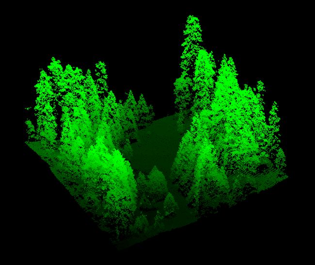
3D Point Cloud
At KD AEROSPACE SYSTEMS, our drones are equipped with advanced payload capabilities and sophisticated features that enable you to harness that power to create 3D point clouds. This service employs state-of-the-art technology to deliver a precise, comprehensive depiction of a specified area. Our drones capture data points from various perspectives which, when processed through our proprietary software, form an ultra-accurate 3D model that surpasses the precision of traditional surveying techniques. This becomes incredibly valuable for clients in industries such as mining and construction, enabling consistent monitoring of terrain alterations.Request a Demo
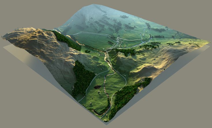
3D Texture Maps
Our advanced drones are geared with the capability to facilitate the provision of our 3D texture map service. This service merges high-definition aerial photography with sophisticated software to craft a visually captivating depiction of a specific area. Capturing images from an array of angles and meticulously blending them, our drones help create a 3D model that provides an immersive and enlightening experience. This service proves to be particularly advantageous for our clients in the real estate sector. It empowers them to present properties in a manner that is not only appealing but also rich in information for prospective buyers.Request a Demo
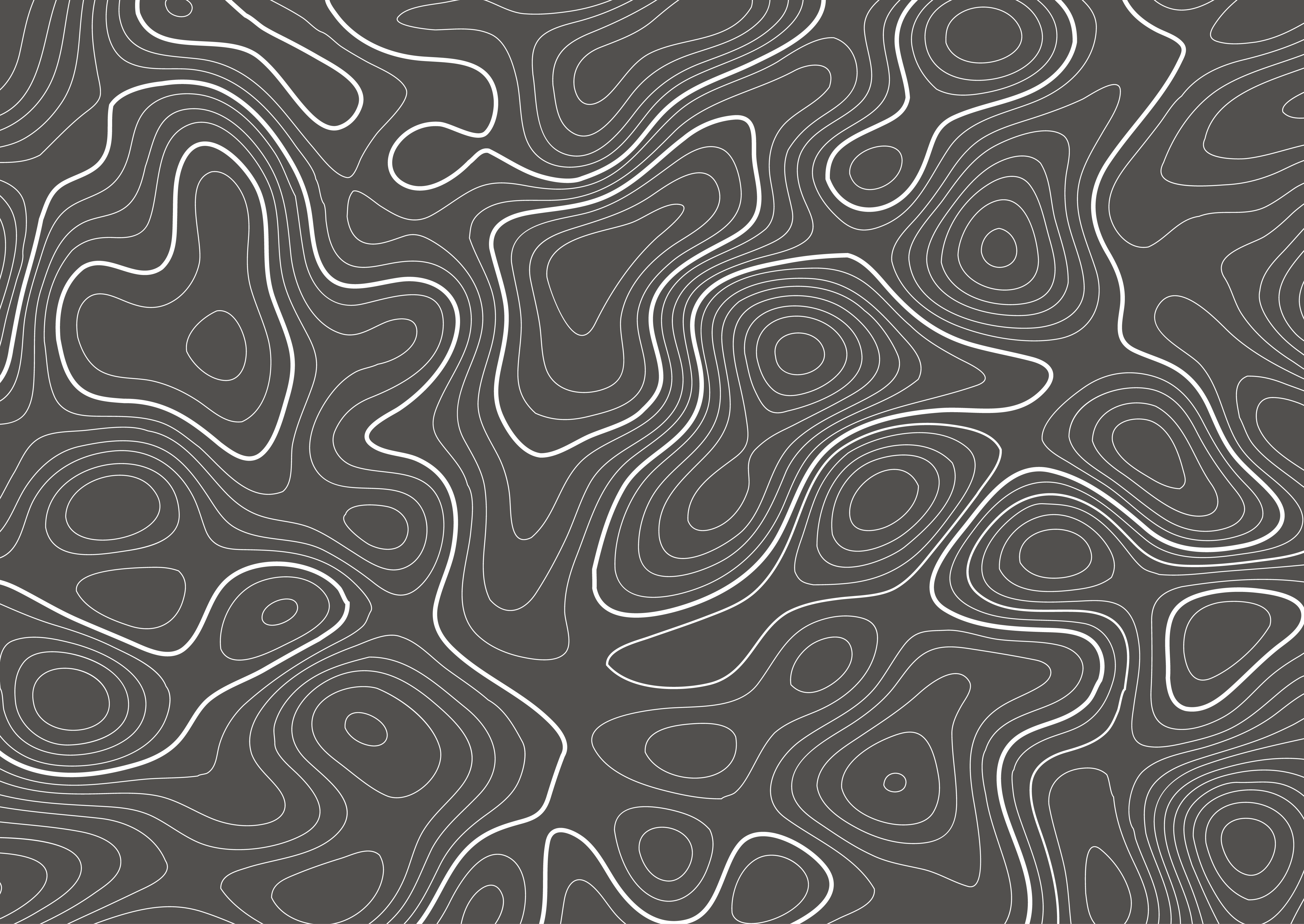
Contour Maps
Using specialized equipment, our drones are capable of assessing elevation and terrain shape, allowing us to construct a contour map that serves a multitude of applications. This service is of particular significance to our clients in the civil engineering and land surveying sectors, facilitating infrastructure planning, floodplain mapping, and terrain change tracking over time. Moreover, our contour maps prove beneficial for clients in the fields of geology and environmental science, offering invaluable insights into the underlying structure and composition of an area.Request a Demo
Benefits of Using KD AEROSPACE SYSTEMS for collecting Mapping Data
Level up your game.
Advanced Payload

Pratham is equipped with an advanced Mapping sensor with a hot shoe for PPk and in-built image stabilization, allowing you to map large territories or difficult terrain. The timing of each photo is logged with a resolution of less than a microsecond, allowing you to receive coordinates of the exact moments each photo was taken.
Reduced Cost

Utilizing our drones for mapping provides a significant cost reduction compared to traditional methods. Drones eliminate the need for expensive equipment and manpower, reducing overhead costs considerably. Additionally, the speed and efficiency of drone mapping mean fewer hours spent in the field, leading to decreased operational expenses.
Speed

Pratham is an all-rounder drone that is highly suitable for mapping operations. A lightweight frame and modular design allows you to quickly setup in any terrain. In addition to this, an interchangeable payload allows you to customize to your needs.
Enhanced Data Quality

Mapping with our drones significantly enhances data quality. The superior aerial vantage point of drones enables the capture of high-resolution images from multiple angles, contributing to more detailed and comprehensive data collection. Advanced drone features also allow for more precise measurements and consistent data capture, reducing errors inherent in manual surveying